How to read a hurricane cone without misreading it
The hurricane cone shows where the centre of a storm is likely to go. It does not show how big the storm is, and it does not show where its wind, rain or surge will reach. That one distinction is behind most of the ways the cone gets misread, and it is worth getting straight before a storm is on the map rather than while one is.
What the cone actually is
The National Hurricane Center (NHC) draws a circle around each point on its official forecast track, at 12, 24, 36, 48, 60, 72, 96 and 120 hours ahead. Each circle is sized from the NHC's own track errors over the previous five years: large enough that two thirds of those past errors would have fallen inside it. Join the circles and you have the cone.
So the cone is a picture of forecast uncertainty. It answers one narrow question: where is the centre of the storm likely to be?
Across a whole forecast, NHC says the full five-day path of the centre stays inside the cone about 60 to 70 percent of the time. Put the other way round, roughly one forecast in three, the centre leaves the cone at some point along the way.
The cone is not the size of the storm
This is the misreading that matters most, and it is an easy one to make, because the shape looks like a storm swelling as it approaches. A compact hurricane and a very large one on similar tracks get cones of the same width, because the width comes from track uncertainty and not from the wind field.
A storm's winds can extend a long way from its centre. NHC notes that places well outside the cone often see hazards such as tornadoes and inland flooding from heavy rain. Sitting just outside the line is not the same as being out of reach. The reverse holds too: being on the centre line does not mean the worst of it is certain to arrive where you are.
Why the cone widens
The circles grow because forecasts get less certain the further ahead they reach. NHC recalculates the radii every season from the latest five years of errors. For the 2026 Atlantic season they include:
| Hours ahead | Circle radius |
|---|---|
| 12 | 25 nautical miles (about 46 km / 29 mi) |
| 48 | 62 nautical miles (about 115 km / 71 mi) |
| 120 | 200 nautical miles (about 370 km / 230 mi) |
It is worth taking the widening literally. A day five position is a broad band, not a point. So when the centre line shifts between advisories at that range, that is usually the forecast narrowing a wide range of outcomes, which is what a five-day forecast is supposed to do as the days pass.
What to read alongside the cone
NHC publishes the cone as one product in a set. The other products, and the people who interpret them locally, answer the questions it cannot:
- Watches and warnings for hurricane, tropical storm and storm surge conditions, issued for specific stretches of coast. A watch means those conditions are possible; a warning means they are expected.
- Wind speed probabilities, the chance of tropical storm or hurricane force winds at a particular place.
- The expected arrival time of tropical storm force winds, which is often the number that matters most for timing.
- Your local National Weather Service office and emergency officials, who turn all of this into what it means for your area, including any evacuation orders.
If you have read our piece on what a 40% chance of rain means, the pattern will look familiar. A single graphic answers one question well, and the decision needs several.
Where Ora Weather fits
Ora Weather follows official NWS classifications, and equivalent authorities elsewhere, for the alerts it shows rather than inventing its own. Its hurricane tracker shows a storm's current position on the free tier, and the full path with alerts on OraPlus. What it adds is timing: what is coming, when, and an all-clear once it has passed. It does not replace the NHC's cone or the advisories behind it, and it is not meant to.
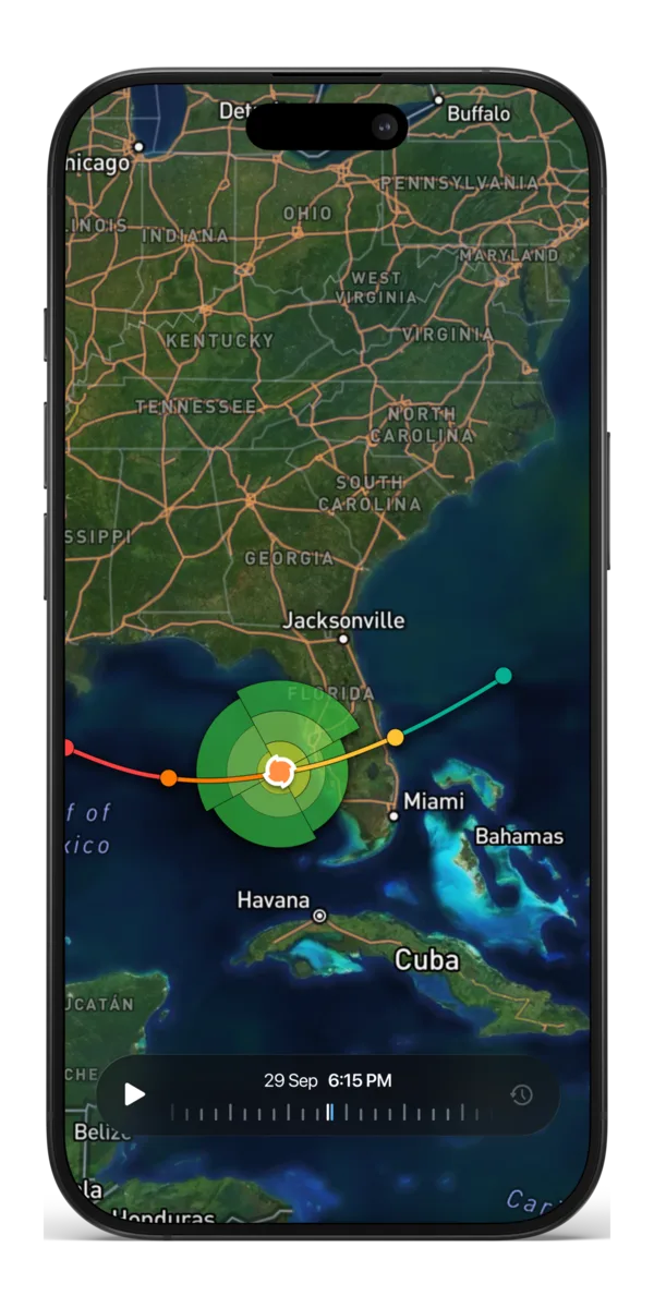
The cone is good at the one thing it was built to show, which is the likely path of a single point. Wind, rain, surge and timing live in the watches, warnings and local guidance published next to it.
Common questions
- If I am outside the hurricane cone, am I out of danger?
- Not necessarily. The cone only covers the likely path of the storm's centre. The National Hurricane Center notes that areas well outside it often see hazards such as tornadoes and inland flooding from heavy rain. The official watches and warnings for your area are what count.
- How often does a hurricane stay inside the cone?
- According to the National Hurricane Center, the entire five-day path of the centre stays within the cone about 60 to 70 percent of the time. Roughly one forecast in three, the centre leaves it at some point.
- Why does the cone get wider further out?
- Each circle that makes up the cone is sized from the NHC's past track errors at that lead time, and errors grow the further ahead a forecast reaches. For the 2026 Atlantic season the circle is 25 nautical miles at 12 hours and 200 nautical miles, about 370 km or 230 miles, at 120 hours.
- Does a bigger cone mean a bigger storm?
- No. Two storms on similar tracks get cones of the same width whatever their size, because the width comes from forecast uncertainty and not from the wind field.
- How often is the cone updated?
- The cone is redrawn with each full NHC advisory, which for an active storm comes every six hours.